|
While our images are electronically watermarked, the antique prints themselves are not.
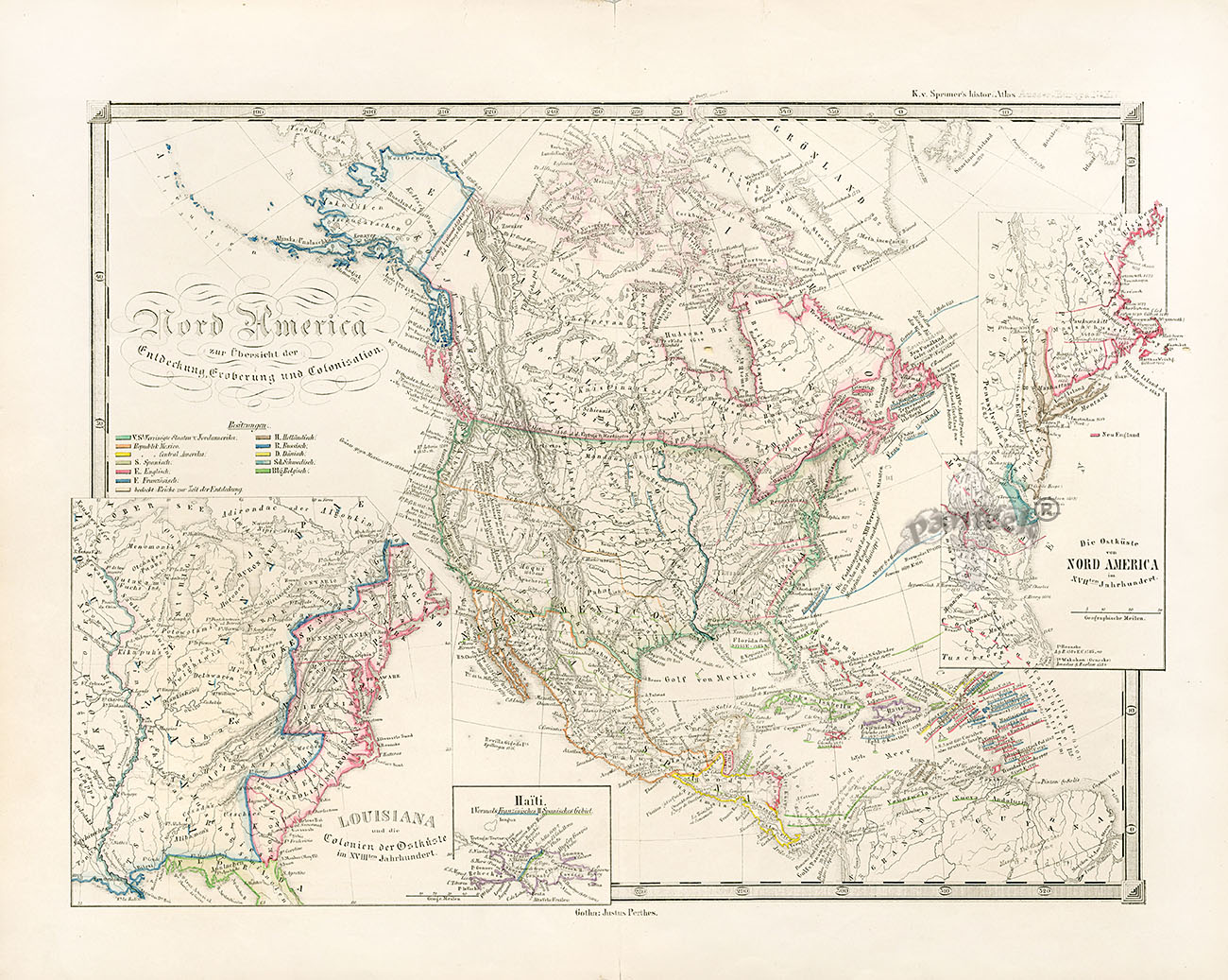
Justus Perthus Map Nord America zur Übersicht der Entdeckung, Eroberung und Colonisation 1853 17x12" JPM111 $475
1853 lithographed map, hand-colored in outline. With insets of Louisiana, Haiti & the east coast of North America in the 18th century. A detailed and informative map of North America, giving an overview of its discovery, conquest and colonization. Much information is contained in the captions and legends, and in California the Gold Region is designated.
We accept credit cards & PayPal. Florida state residents pay Florida state sales tax. Shipping for this item is $14.95. Items can be combined to save on postage. International shipping starts at $35 and buyers are responsible for all customs duties. Our environment is smoke free. We pack professionally using only new materials. All items are beautifully wrapped and suitable for sending directly as gifts. You may return any item within 10 days if not satisfied. To order, you may call us at 1-888-PANTEEK, or send email to panteek@aol.com

PANTEEK is a registered trademark

  
|