
Please click on each image to enlarge and for prices
1856 Map Prints from Colton's Atlas of the World |
Please click on each image to enlarge
and for prices
| Click for Index | Click for Page: 1 2 | Next > |
 |
 |
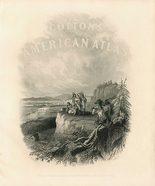
| Title Page CAA1 $125 |
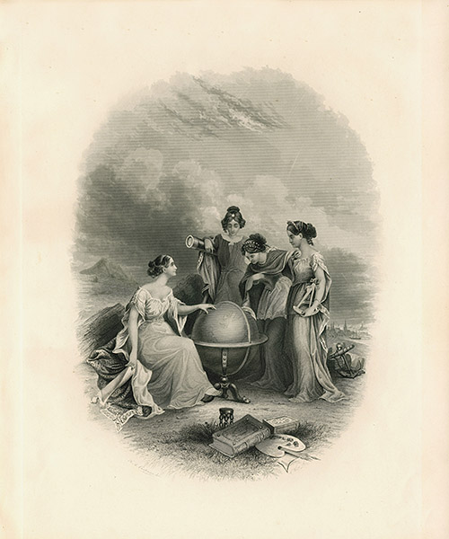
Title Page CAA2 $125 |
 |
 |
| Eastern Hemisphere CAA6 $145 |
Western Hemisphere CAA7 $145 |
 |
 |
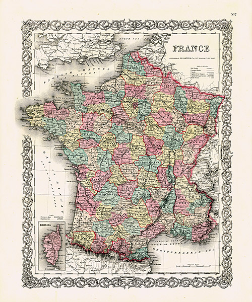
| France CAA34 $95 |
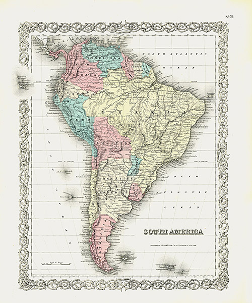
South America CAA9 $135 |
 |
 |
| Canada West and Upper Canada CAA10 $115 |
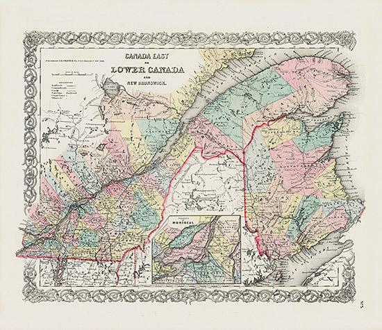
Canada East and Lower Canada CAA11 $95 |
 |
 |
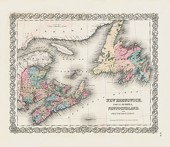
| New Brunswick, Nova Scotia, Newfoundland, and Prince Edwards Island CAA12 $115 |
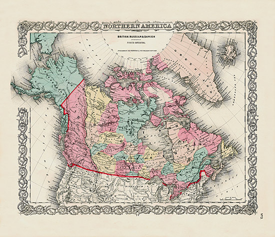
Northern America, British, Russian and Danish CAA13 $95 |
 |
 |
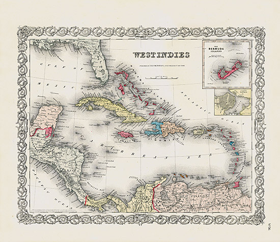
| West Indies, Bermuda Islands CAA14 $165 |
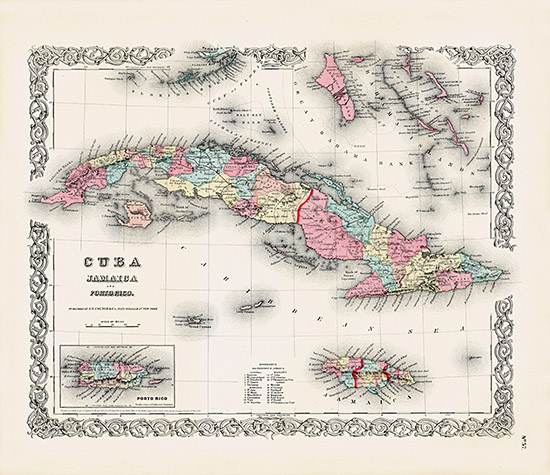
Cuba, Jamaica, Puerto Rico CAA15 $175 |
 |
 |
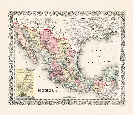
| Mexico CAA16 $95 |
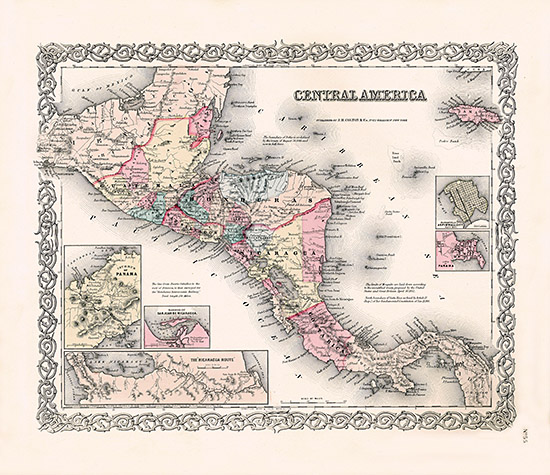
Central America CAA17 $115 |
 |
 |
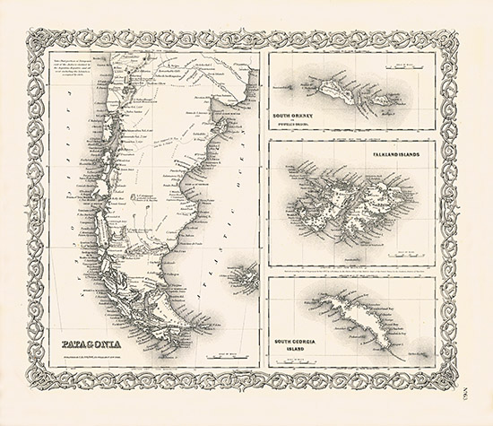
| Patagonia, South Orkney, Falkland Islands, South Georgia Islands CAA28 $85 |
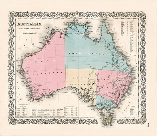
Australia CAA19 $125 |
 |
 |
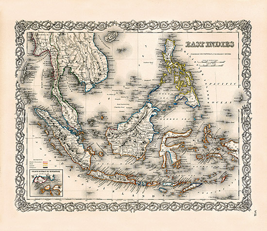
| East Indies CAA22 SOLD |
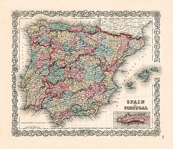
Spain and Portugal CAA21 $95 |
 |
 |
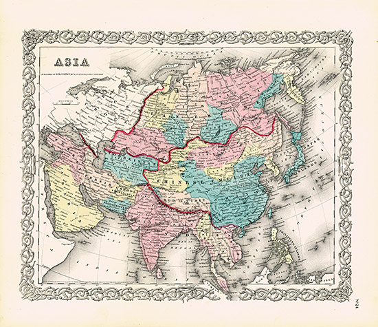
| Asia CAA23 $75 |
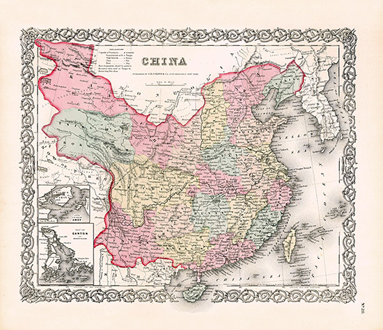
China CAA24 $95 |
 |
 |
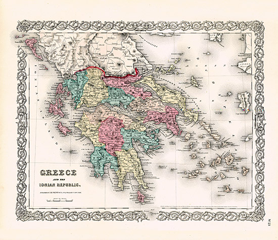
| Greece and the Ionian Republic CAA29 $85 |
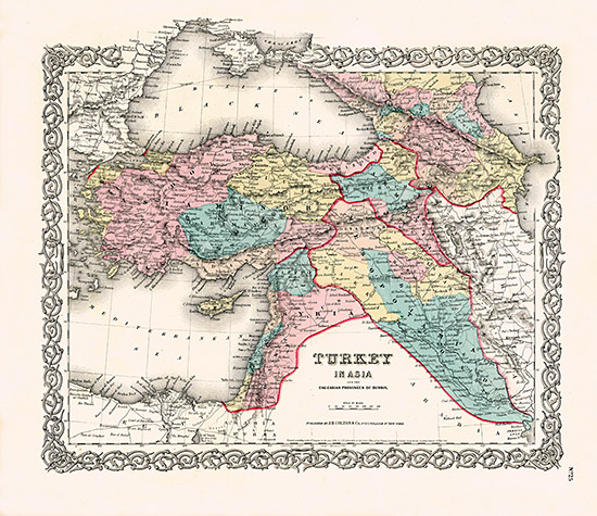
Turkey in Asia CAA30 $75 |
 |
 |
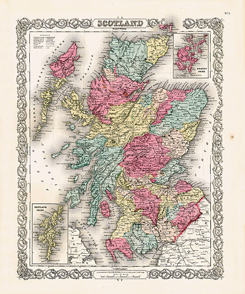
| Scotland CAA31 $95 |
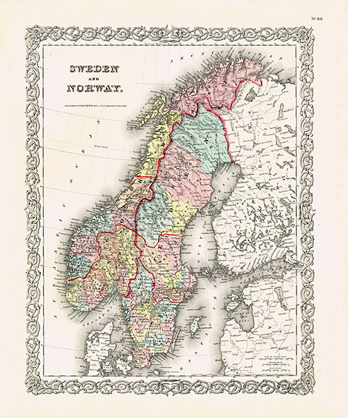
Sweden and Norway CAA32 $75 |
 |
 |
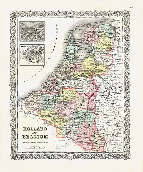
| Holland and Belgium CAA37 $75 |
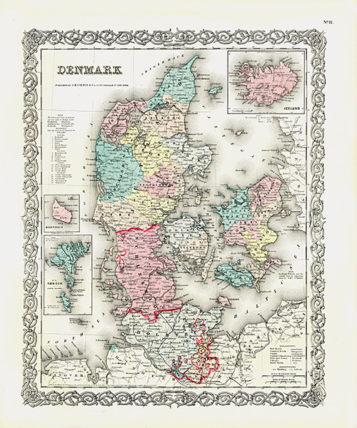
Denmark CAA38 $75 |
 |
 |
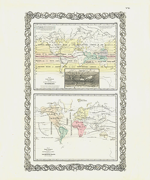
| Meteorology, Principal Plants, CAA39 $65 |
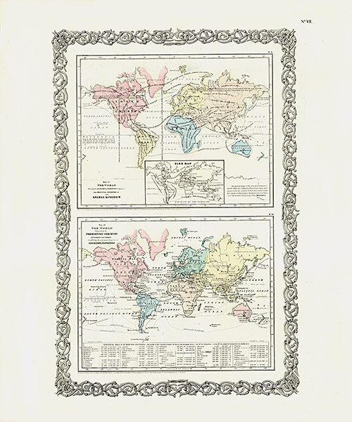
Animal Kingdom, Bird Map, Productive Industry CAA40 $65 |
| Click for Index | Click for Page: 1 2 | Next > |
Please click on each image to enlarge and for prices
|
| Click to Contact |

Copyright © 2017 Panteek. All Rights Reserved. Privacy Policy